
Clearance · Pasab village · Zhari district · Kandahar Province
Pasab, before and after
One hazardous area, photographed by the team leader of demining team MCPA-DT-03: before clearance in November 2022, after clearance in December, and again the following March.
Numbers describe clearance in square metres. Photographs show what it means for a particular piece of ground. These were taken by the team leader who cleared this hazard, as part of the team's record.
-
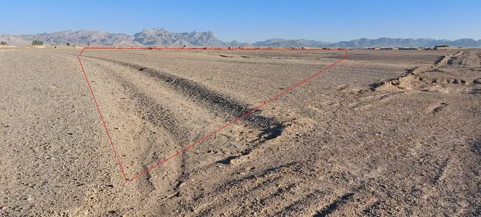
The hazardous area before clearance, its boundary marked in red on the team's photograph. -
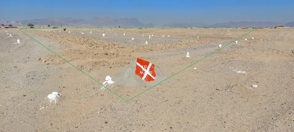
After clearance, with the team's markers still in place. -
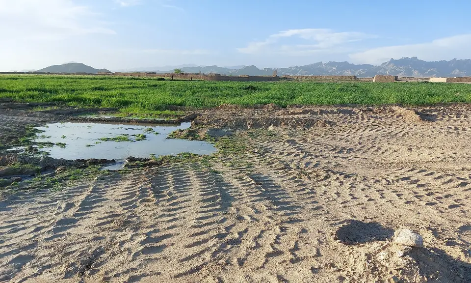
The following spring: crops growing, and ground being worked and irrigated.
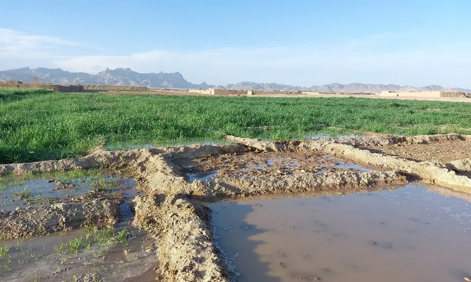
What the community did with it
Once MCPA had cleared the hazardous areas, local people began to cultivate the newly safe land, planting crops and improving what they could grow. The cleared land also gave space to build houses, providing shelter for returnees and families without homes.
Source
MCPA photographic record, "Kandahar project photos", hazard in Pasab village, Zhari district; photographs by the team leader of MCPA-DT-03. Project details from MCPA's project register (project 21-SPMWRA21-GR-3049). Exact coordinates recorded on the original photographs are not published here.